Maps - Unit 1: Reconstruction and Segregation
 
Frameworks for America's Past
Return to Originating Page


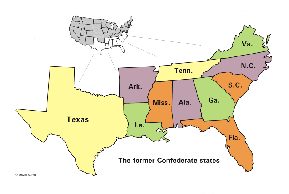
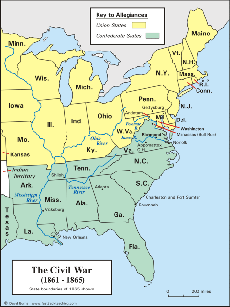
Map:
The Civil War
1861 - 1865


   The Union states, also called the North, are shown in yellow.  Three additional states in the Union - California, Oregon, and Nevada - are further to the west and are not shown.

   The Confederate states - the states of the South - are shown in green.

   The Confederacy surrendered in April of 1865, after four years fighting.  That ended the Civil War.

   The Reconstruction period lasted 12 years.  They were years of great changes and challenges for all Americans, but especially for those in the South.


Civil War map - 1861 to 1865


The former Confederate States


Confederate States map


The maps are by David Burns, based
on maps from the U.S. Geological Survey office.
Some have been edited or resized for this page.


Copyright Notice

   Copyright 2009, 2018 by David Burns.  All rights reserved.  As a guide to the Virginia Standards of Learning, some pages necessarily include phrases or sentences from that document, which is available online from the Virginia Department of Education.  The author's copyright extends to the original text and graphics, unique design and layout, and related material.