The map below shows the most famous wagon trails to the West that began to be used in
the decades before the Civil War. (It is not a map page in your study guide.)
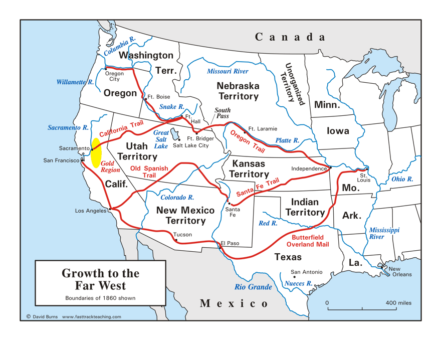
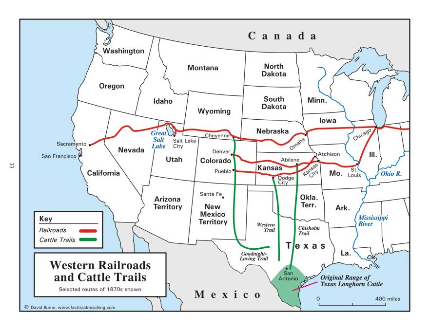
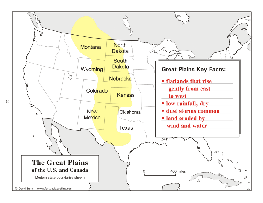
"The Great Plains" map, the "Growth to the Far West" map, and the
"Western Railroads and Cattle Trails" map are by David Burns.
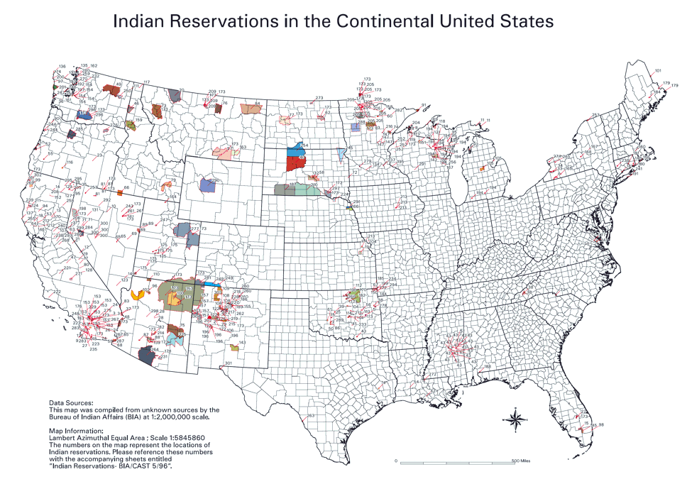
The Indian reservations map is from the U.S. Bureau of Indian Affairs.
|
Copyright Notice
Copyright 2009, 2020 by David Burns. All rights reserved. As a guide to the Virginia Standards of Learning, some pages necessarily include phrases or sentences from that document, which is available online from the Virginia Department of Education. The author's copyright extends to the original text and graphics, unique design and layout, and related material. |